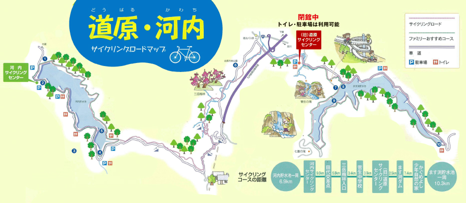
河内・道原サイクリングロード|スマートサイクルライフ北九州

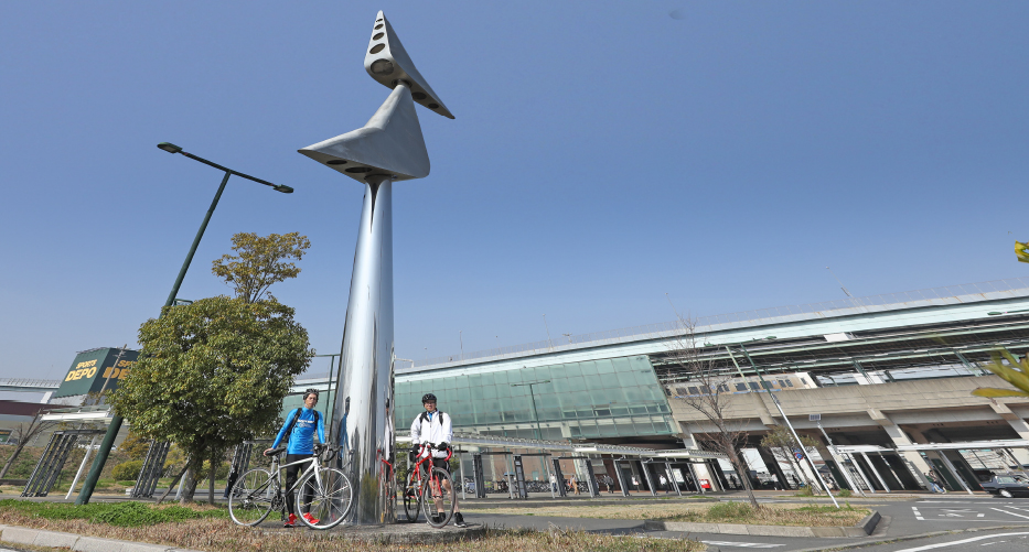
Departing from Space World Station, the Kawachi-Dobaru Bicycle Path circles the beautiful concrete gravity dam of Kawachi Reservoir and heads toward Masubuchi Reservoir.
The Doubaru-Kawachi Cycling Road is a cycling road built around the Masubuchi Reservoir and the Kawachi Reservoir. You can run around the dam, so it is also recommended for families and couples to cycle. Sumakita introduces a long course of about 49.2km that starts from Space World Station and goes around both Doubaru and Kawachi cycling roads.


| 時間 | 約2時間40分 |
|---|
| 距離 | 約35 km |
|---|


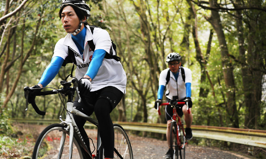
Starting from Space World Station on the JR Kagoshima Main Line, depart for Kawachi Reservoir, a modern industrialization heritage site and important cultural property!

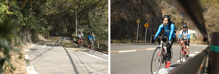
県道62号線を、板櫃川沿いにライド。河内貯水池への登りがはじまります
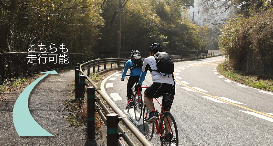
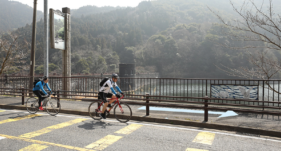
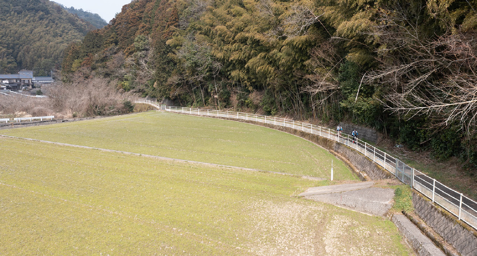
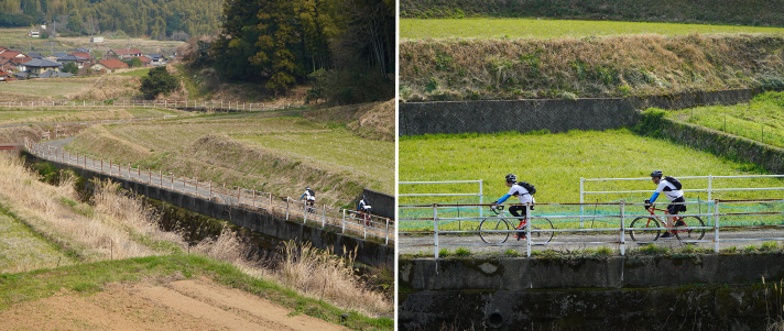
河内貯水池はドライブコースとしても人気。
車やバイクに十分注意して、安全に進みましょう
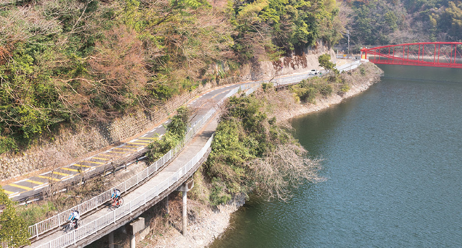
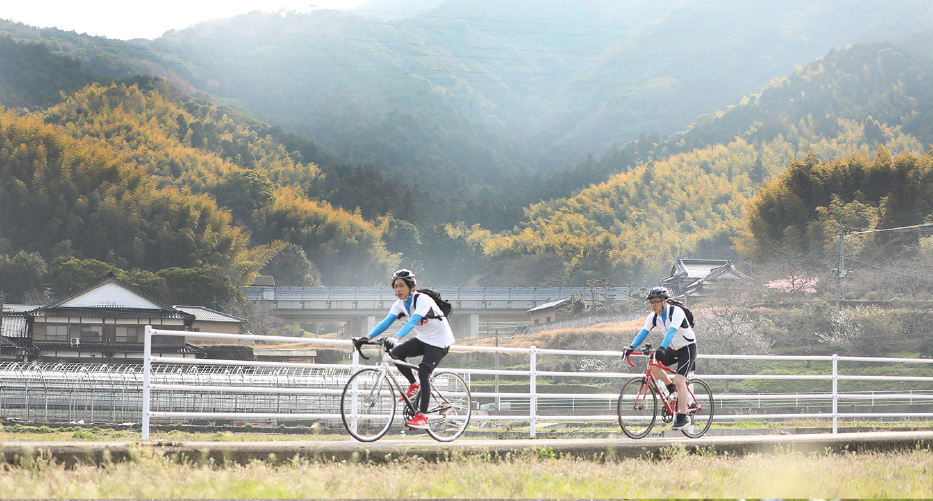
河内貯水池周辺は、桜や新緑、紅葉と季節ごとに美しい景色が楽しめる人造湖。 板櫃川上流に建設された河内ダムによって造られ、北九州国定公園に指定されていて、一年を通してドライブコースとしても人気です。そのため車やバイクの交通量が多く、通行する際は十分に注意して走りましょう。


KAURI - homemade yeast bread
This bakery is located in Yahatahigashi Ward, within cycling distance of Space World Station. Its breads are baked using domestic wheat flour (from Hokkaido and Kumamoto Prefecture) and homemade yeast made from grains, fruits, and vegetables that are slowly fermented. Its breads are doughy, rich and full of flavor, and the more you bite into them, the more sweetness you can taste.
Ministop Yahata Okura Shop

Since there are no stores around the Kawachi Reservoir, we recommend that you stock up with supplies in advance at a convenience store before climbing up to the dam.


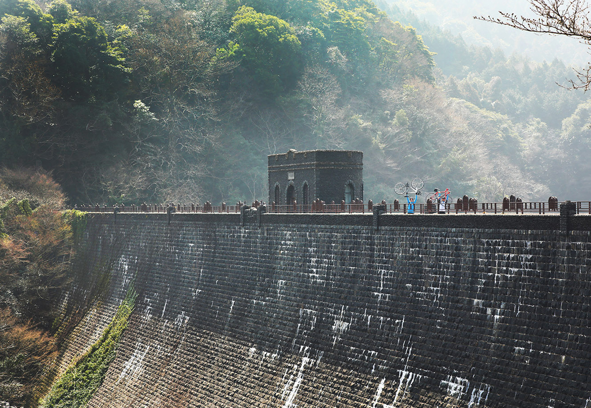
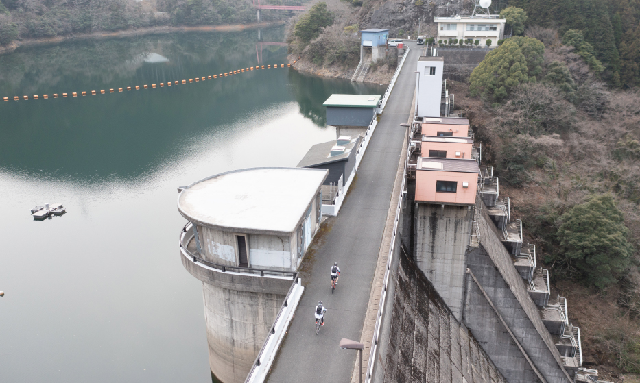
The Kawachi Dam was built in the Taisho era (1912-1926) to supply industrial water to the Yahata Steel Works.The beautiful appearance of the dam, reminiscent of an old European castle piled with stones, remains unchanged to this day.
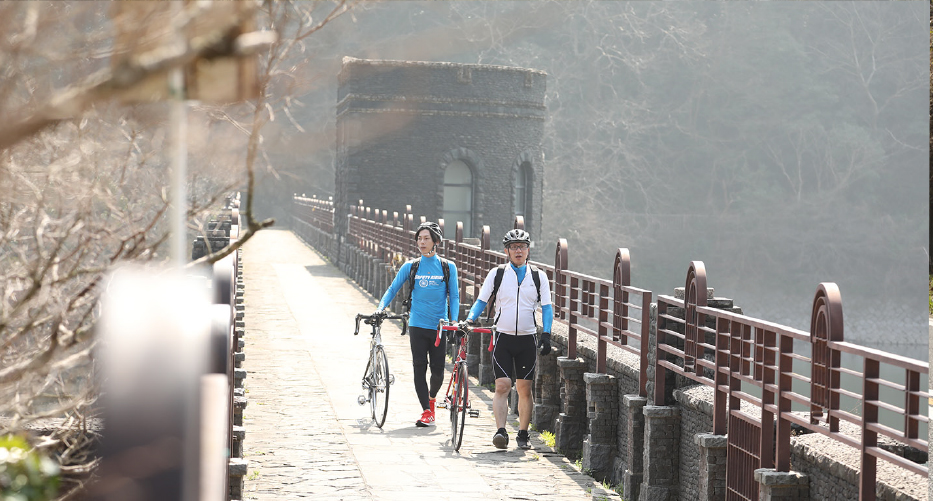
河内貯水池は古城のように美しい、重力式コンクリートダム
河内貯水池は、もともと第一次世界大戦による鉄の需要増に対処するため建設された官営八幡製鉄所のダムでした。重力式コンクリートダムで、表面は石積み。戦前の貯水池ダムとしては最も高く、貯水量700万tは当時東洋一。


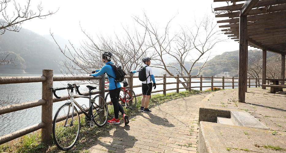
Take a break at the plaza in front of the Kawachi Cycling Center.Bicycle rentals are also available on weekends, holidays, and during school vacations.
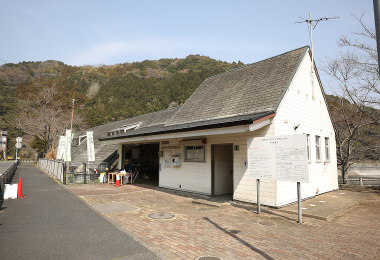
河内サイクルセンター
所在地 北九州市八幡東区大字大蔵2500-34
TEL 093-651-9000
開館時間や休館日については施設に直接お問い合わせください。
貯水池周辺には公園やトイレもあります。
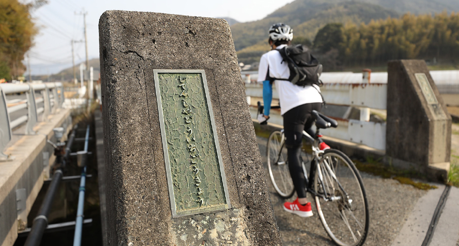
近代化産業遺産や重要文化財が残る河内貯水池には池をとり囲むようにサイクリングロードが整備されており、ダムには至る所にトイレや公園、休憩できるスポットがあります。
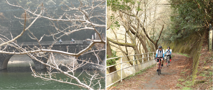
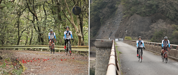
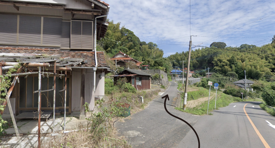
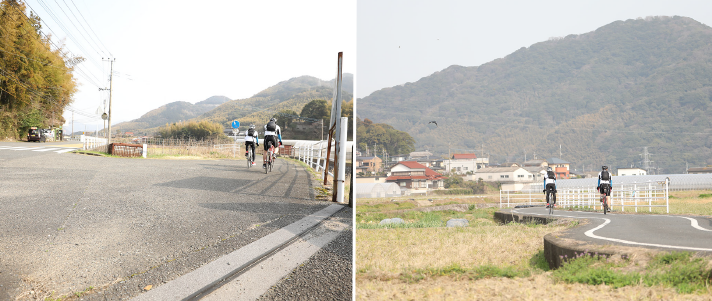
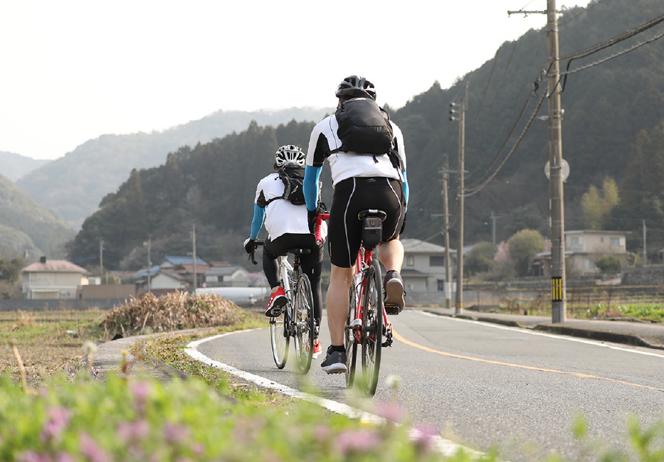
河内貯水池を抜けたら、山手をはしる県道297号線「鱒渕八幡東自転車道線」を走行。県道61号線「小倉中間線」へ合流して、峠を越えます。
県道61号線「小倉中間線」で峠を登り終えて、くだり坂にはいったら
すぐに左側にサイクリングロードがあるので見逃さないように注意が必要です


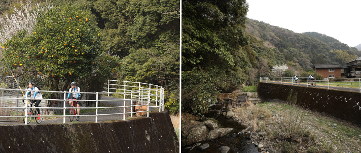
Mitake Bairin Park is one of Kitakyushu's most popular plum blossom viewing spots, and it dates back to the time the plum trees were planted to commemorate the Emperor Showa's wedding. About 350 red and white plum trees can be enjoyed in the park covering 10,000 square meters.
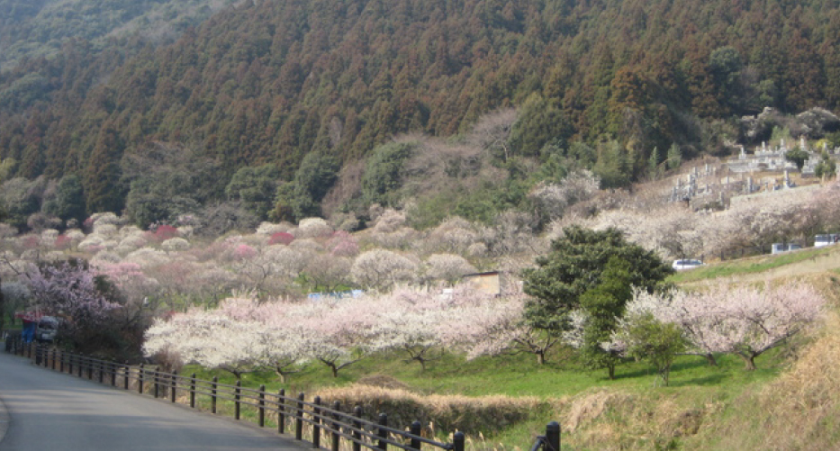
春には紅梅、白梅約350本の見事な梅林がなばめられるので、この時期にサイクリングをするなら見逃さないように立ち寄りたいスポットです。
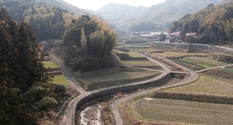
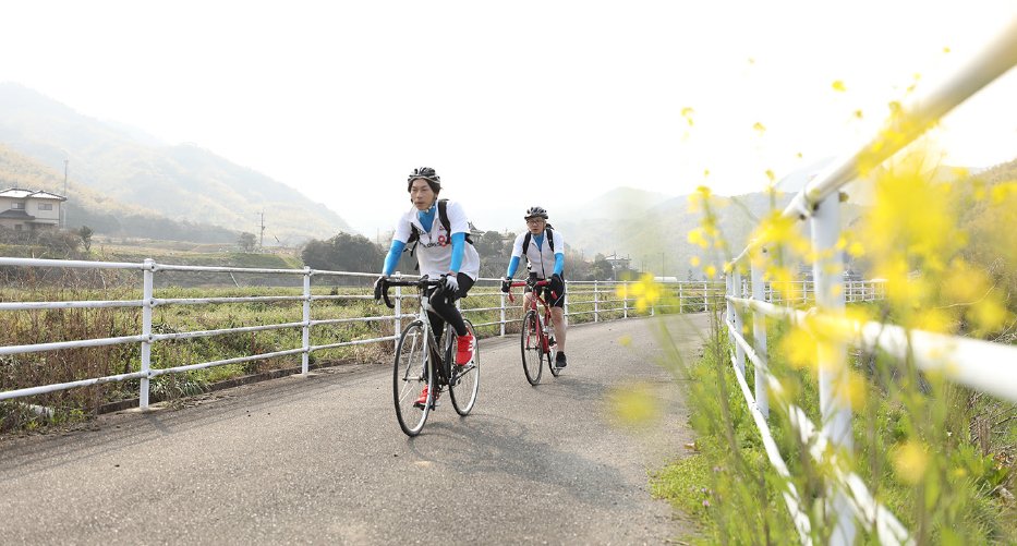
三岳梅林公園をすぎて県道61号線に合流。自転車道1号橋を渡って
のどかな農道を走って鱒淵貯水池を目指します。


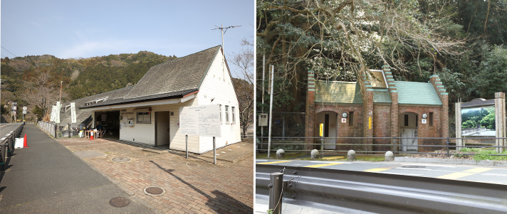
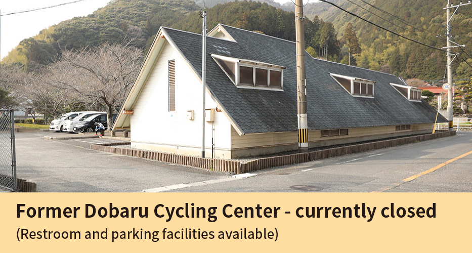
Cycle along the Oma River, and when it merges with Prefectural Road 258, take another ride along the Murasaki River to Masubuchi Dam. A restroom break can be taken at the former Dobaru Cycling Center.
旧道原サイクリングセンターは
駐車場、トイレがあるのでサイクリングの拠点として最適
河内貯水池と鱒淵貯水池を結ぶ本サイクリングコースはアップダウンの厳しいコースでもあります。ご自身の体力にあわせてスタート・ゴール地点を設定して走ることをおすすめします。旧道原サイクリングセンターは閉鎖中ですが、広い駐車場とトイレは利用可能。ロングライドの拠点としてご利用頂けます。
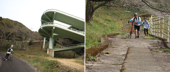
旧道原サイクリングセンターを通り過ぎて、ループ橋が見えてきたら鱒淵貯水池に到着です。ループ橋は自転車を押して、歩行者に注意しながら登りましょう。
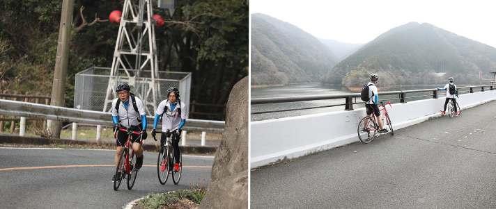


Completed in 1974, the Masubuchi Dam is a dam upstream of the Murasaki River.
ダムをぐるっと一周、自転車でめぐることのできる
サイクリングコースもおすすめ
鱒渕ダムの堰堤から望む山肌は美しく、ダム側の公園では春になると桜。秋は紅葉する木々で美しく彩られます。サイクリングロードはダムをぐるっと一周走る事ができ親子でのサイクリングにおすすめです。